
Inside the MapinduziSat-1 prototype.
Before a CubeSat goes anywhere near orbit, it runs on a bench for months. This is that bench: the sensors it carries, the dashboard that reads them, and the lab where it gets built and rebuilt.
Live telemetry dashboard
Every reading below is visualized in real time as the engineering model runs.

What it measures
Five categories of onboard data, each feeding the dashboard above.
Position over time
Tracking altitude helps map atmospheric change at different elevations — temperature variation and shifts in composition as height changes.
Temperature, pressure & humidity
Together these three give a working picture of atmospheric conditions: thermal shifts, air density, and moisture levels.
UV dosage
UV readings help track the sun's effect on the atmosphere, feeding into a longer-term picture of ozone dynamics.
Solar charge & battery draw
Monitoring the onboard power system — solar charging, battery discharge — is what keeps the rest of the sensors running on schedule.
VOCs & oxidizing gases
Volatile organic compounds and oxidizing gas readings add a second lens on atmospheric composition and possible environmental stress.
COTS + custom PCBs
The model mixes commercial off-the-shelf components with PCBs designed in-house — a deliberate choice to keep the build both affordable and teachable.
Field tests
Taking the sensors off the bench and into real terrain.
Two terrains, one question
After the model came together in the Dar es Salaam lab, the real test was whether its sensors held up outside a controlled environment. The team took it to Morogoro, about 195km west of Dar es Salaam near the Uluguru Mountains, and to Singida, about 690km northwest at a higher, semi-arid elevation — two genuinely different environments on purpose. At both sites, the onboard sensors reported altitude readings that matched the known elevation of each location: 820 meters in Morogoro, 1,052 meters in Singida.
Longer than it looks
The idea behind what's now MapinduziSat-1 goes back to 2001. It stayed an idea until January 2023, when the project was formally started, and by September 2023 the team had the preliminary hardware in hand and had begun building the model that would later go to Morogoro and Singida. "Mapinduzi" means revolution in Swahili — the name was chosen on purpose.
From the field tests
Click any photo to see it full size.
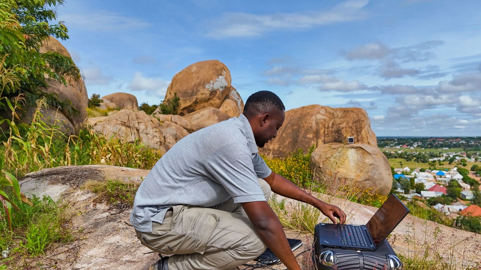
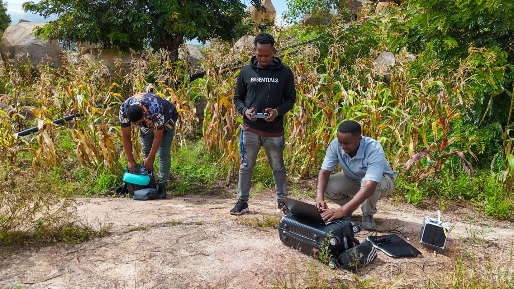
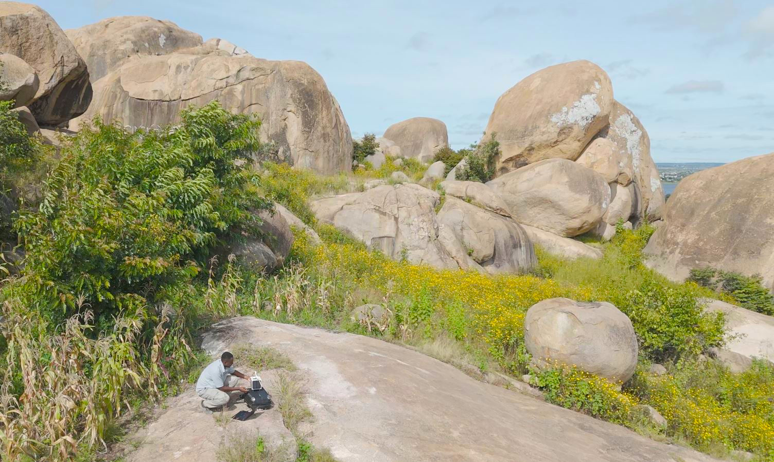
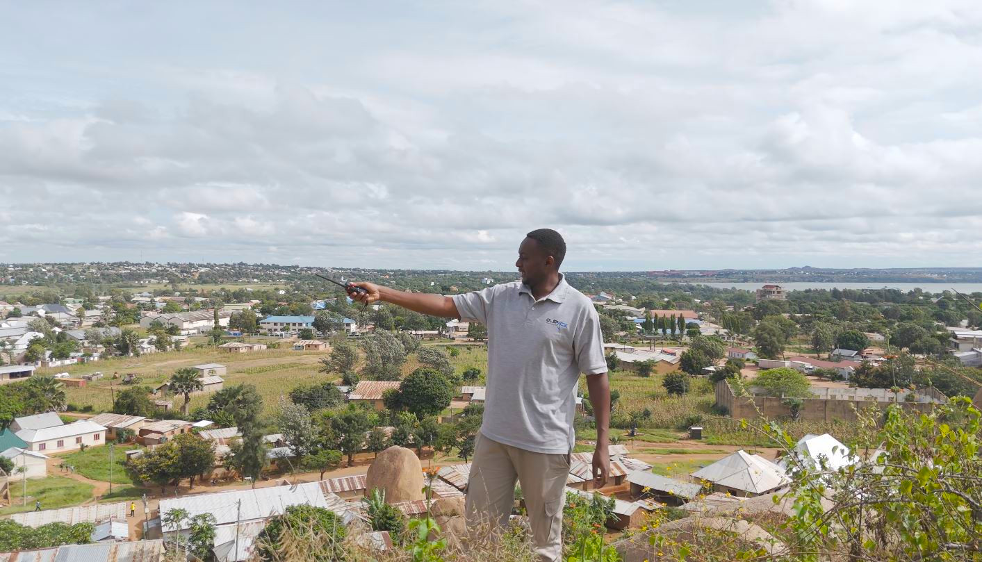


In the lab
Assembly, testing, and the version history of the engineering model.
.JPG)
.JPG)
.JPG)
.JPG)


